Why visit
Why visit Transalpina (DN67C)
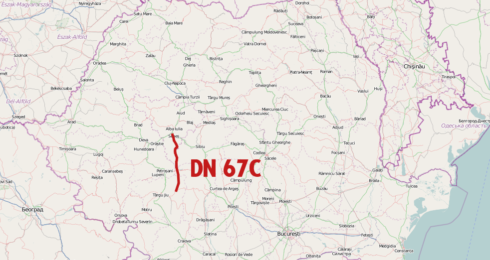
The Transalpina or DN67C is a 148 km national road located in the Parâng Mountains group, Southern Carpathians of Romania, one of the highest roads of the Carpathian Mountains. It connects Novaci, south of Parâng Mountains, to Sebeș in the north.
At a glance
Where
Rânca, Romania
Category
Historic Site
History
The Transalpina or DN67C is a 148 km national road located in the Parâng Mountains group, Southern Carpathians of Romania, one of the highest roads of the Carpathian Mountains. It connects Novaci, south of Parâng Mountains, to Sebeș in the north. It is the highest road in Romania, having the highest point in Urdele Pass (at 2,145 m). Transalpina traverses four counties – Gorj, Vâlcea, Sibiu, Alba – crossing the Parâng Mountains from south to north. The highest altitude is reached on a segment of about 20 km (12 mi), in Vâlcea County, passing a short distance from the peaks of Dengheru (2,084 m), Păpușa (2,136 m), Urdele (2,228 m), Iezer (2,157 m), and Muntinu (2,062 m). Transalpina is a Latin name, used in old Latin texts of Țara Românească, meaning "the country beyond the mountains". Being a high altitude mountain road it is closed during the winter, it stays open from mid May to mid October (depending on the weather) and only during daytime.
“The Transalpina or DN67C is a 148 km national road located in the Parâng Mountains group, Southern Carpathians of Romania, one of the highest roads of the Carpathian Mountains. It connects Novaci, south of Parâng Mountains, to Sebeș in the north.”
Live from here
Gallery
Nearby attractions
No other landmarks within a short walk from here.
Nearby restaurants, cafés & bars
Community reviews
On the map